Jul 27, 2023
No image

Service categories
Service Lines
Design
IT Services
QA and Testing
Web Development
Domain focus
Real Estate
Subcategories
Design
Graphic Design
Challenge
The main challenge was to develop the correct and well-performing combination of application architectural aspects along with the ability to work with statistic big data. Once the core of the application was done, it took some time to create and complete the smooth user flow. While having quite simple and ascetic user interface, the application shows high performance in data processing and has low failure statistics.
The main challenge was to develop the correct and well-performing combination of application architectural aspects along with the ability to work with statistic big data. Once the core of the application was done, it took some time to create and complete the smooth user flow. While having quite simple and ascetic user interface, the application shows high performance in data processing and has low failure statistics.
Solution
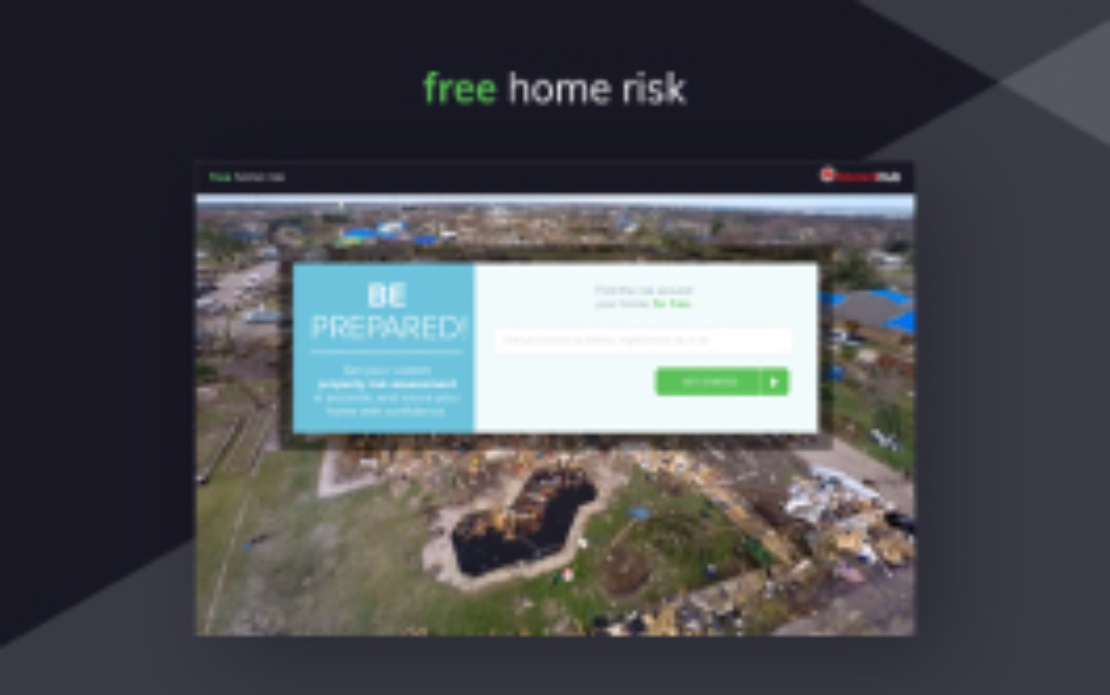
It is a big data project which is designed to process a bunch of complicated API calls to different online services (Google Maps, lead generation platforms, insurance agencies etc.). The key goal of the system is to deliver useful information about any real estate property to the user, namely:
Flood risks
Fire protection class
Earthquake damages risk
Superfund site risk
Brownfield site risk etc.
Results
Speaking from a technological point, the architecture was based on the RoR framework and PostgreSQL database. Namely PostGIS plugin was used to get the maximum performance for the geo data determination. The raw geolocation data was processed by the system in order to convert it to the useful information to end users.
Speaking from a technological point, the architecture was based on the RoR framework and PostgreSQL database. Namely PostGIS plugin was used to get the maximum performance for the geo data determination. The raw geolocation data was processed by the system in order to convert it to the useful information to end users.
