Mar 30, 2021
No image

Service categories
Service Lines
Cloud Consulting
Software Development
Design
Web Development
Domain focus
Manufacturing
Other
Technology
Telecommunications
Programming language
CSS
HTML
JavaScript
Frameworks
Express
React.js
Challenge
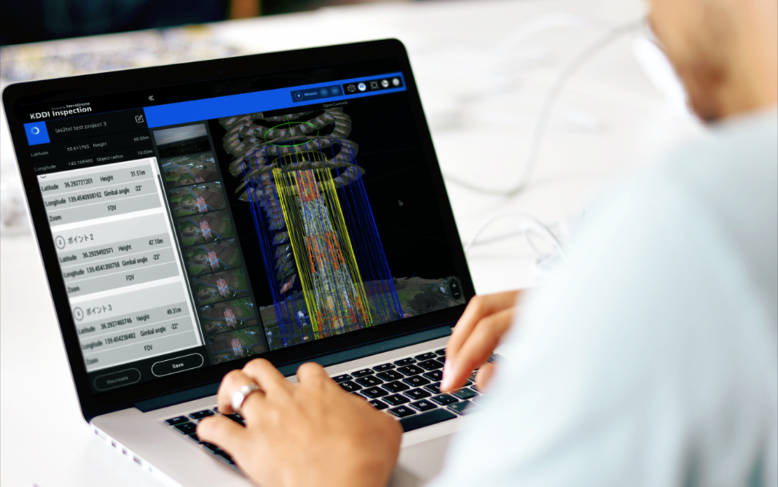
The system is designed to convert photos of TV towers taken from the drone into a 3D point cloud to inspect the state of the tower structure
The system is designed to convert photos of TV towers taken from the drone into a 3D point cloud to inspect the state of the tower structure
Solution
A platform for converting and displaying 3D reconstructions made using conventional photos that were taken on a drone, and all together they formed a 3D model. The pix4d program allows you to simultaneously process and combine thousands of photos taken from different angles, and automatically create topographic maps and 3D terrain models.
A platform for converting and displaying 3D reconstructions made using conventional photos that were taken on a drone, and all together they formed a 3D model. The pix4d program allows you to simultaneously process and combine thousands of photos taken from different angles, and automatically create topographic maps and 3D terrain models.
Results
- Information about each photo is recorded in an EXIF file: at what height it was taken, at what angle the camera was rotated, and what data is longitude and latitude. The program uses machine vision and photogrammetry technology to find common points in many photographs.
- Every match becomes a key point. If the key point is found in three photographs or more, the program builds this point in space. The more key points, the easier it is to determine the coordinates of a point in space. From here follows the main rule – to maintain a large intersection between photos.
