Feb 09, 2024
No image

Service categories
Service Lines
Software Development
Domain focus
Other
Frameworks
.NET
Subcategories
Software Development
Desktop Development
Enterprise Software
Challenge
Our team has recently just ventured into the GIS business domain.
The requirement was for a senior full-stack developer with proficiency in .NET Core and Angular.
The application contained a multitude of intricate functions that incorporated numerous mathematical equations within a user-friendly graphical user interface.
Optimizing front-end performance was a formidable task in enhancing website and map rendering speed, especially when dealing with layers containing over a million records.
Solution
The developers must acquire knowledge and conduct research on spatial databases, as well as familiarize themselves with the terminologies and prevalent issues in the GIS field.
At the outset, Saigon Technology would assign a senior full-stack developer at the expert level in .NET Core and Angular to handle the development of new features for GIS Products.
After a period of two months, the team underwent scaling by the addition of an extra back-end developer and an additional front-end developer.
Results
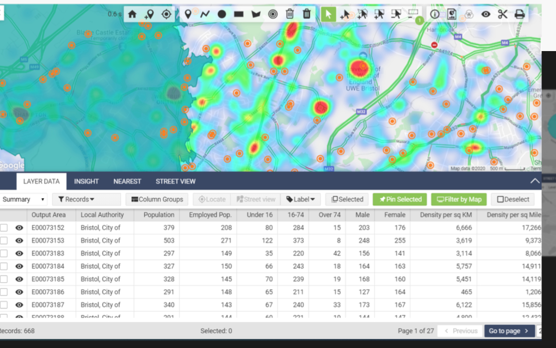
Maps: The main module, presents data on Google Map’s graphic foundation.
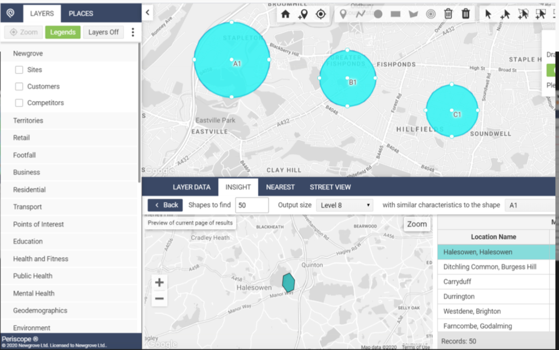
Insights: Analyze data to deduct useful information for partner’s business activities
Catchments: Estimate distance within a radius based on vehicle, speed, and zone of influence on the map.
Reports: Data reports related to resident management, population, store statistics, and business activities.
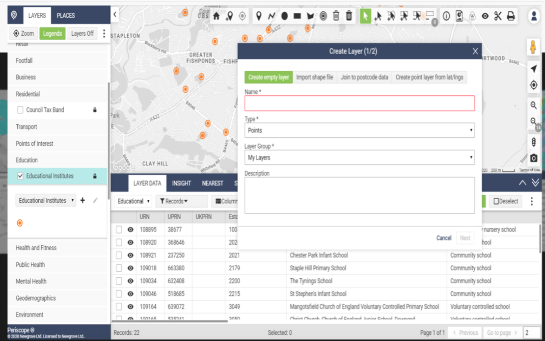
Drawing Tools: Tools to draw on Google Map’s graphic.
Map Filters: Data filters are applied to select essential data for observation and analysis.
Map Styles: Customize the visualization of data on the map.
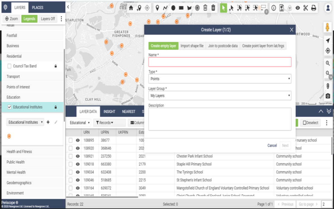
Layers / Layer groups: Visualize, and categorize data on the map.
Based on the client and related contents.
No image

No image

No image

